Alegre, Espírito Santo
Alegre is a municipality located in the Brazilian state of Espírito Santo. Its population was 29,975 (2020) and its area is 772 km² (298 sq mi).[1]
Municipality in Southeast, Brazil

Flag

Coat of arms
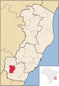
Location in Espírito Santo state
(2020 [2])
The municipality contains the Cachoeira da Fumaça State Park, created in 1984.[3]
Gallery
-
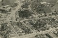 City of Alegre in 1958
 -
 Cachoeira da Fumaça


References
- v
- t
- e

Capital: Vitória
| Afonso Cláudio |
|
|---|---|
| Guarapari | |
| Santa Teresa | |
| Vitória |

| Linhares | |
|---|---|
| Montanha | |
| São Mateus |
| Barra de São Francisco | |
|---|---|
| Colatina | |
| Nova Venécia |
| Alegre | |
|---|---|
| Cachoeiro de Itapemirim | |
| Itapemirim |
 | This geographical article relating to Espírito Santo is a stub. You can help Wikipedia by expanding it. |
- v
- t
- e


