Kilchrenan
Human settlement in Scotland

Kilchrenan
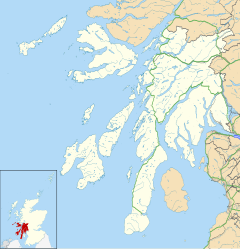
Location within Argyll and Bute
- Argyll and Bute
- Argyll and Bute
- Argyll and Bute
- Argyll and Bute
Kilchrenan (Scottish Gaelic: Cill Chrèanain) is a small village in the Argyll and Bute area of Scotland.[1] Kilchrenan is located near to the end of the B845 road, about 1 mile (1.6 km) inland from Loch Awe. It forms part of the area of Avich and Kilchrenan Community Council.
The tomb of Colin More Campbell of Lochawe, who was killed at the Battle of Red Ford in 1294, can be seen in the churchyard of Kilchrenan. It is described as “a narrow old tomb with sculpture much defaced.”[2]
See also
References
External links
 Media related to Kilchrenan at Wikimedia Commons
- Map sources for Kilchrenan
Authority control databases | |
|---|---|
| International |
|
| National |
|
- v
- t
- e


