Neuried, Bavaria
Municipality in Bavaria, Germany

Coat of arms
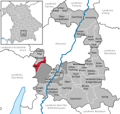
Location of Neuried within Munich district
(2022-12-31)[2]
82061
Neuried is a municipality in the district of Munich in Bavaria in Germany.
References
- ^ Liste der ersten Bürgermeister/Oberbürgermeister in kreisangehörigen Gemeinden, Bayerisches Landesamt für Statistik, 15 July 2021.
- ^ Genesis Online-Datenbank des Bayerischen Landesamtes für Statistik Tabelle 12411-003r Fortschreibung des Bevölkerungsstandes: Gemeinden, Stichtag (Einwohnerzahlen auf Grundlage des Zensus 2011) (Hilfe dazu).
- v
- t
- e
Towns and municipalities in Munich district
- Aschheim
- Aying
- Baierbrunn
- Brunnthal
- Feldkirchen
- Garching
- Gräfelfing
- Grasbrunn
- Grünwald
- Haar
- Hohenbrunn
- Höhenkirchen-Siegertsbrunn
- Ismaning
- Kirchheim bei München
- Neubiberg
- Neuried
- Oberhaching
- Oberschleißheim
- Ottobrunn
- Planegg
- Pullach
- Putzbrunn
- Sauerlach
- Schäftlarn
- Straßlach-Dingharting
- Taufkirchen
- Unterföhring
- Unterhaching
- Unterschleißheim

Authority control databases | |
|---|---|
| International |
|
| National |
|
 | This Munich district location article is a stub. You can help Wikipedia by expanding it. |
- v
- t
- e


